
2D / 3D Modelling
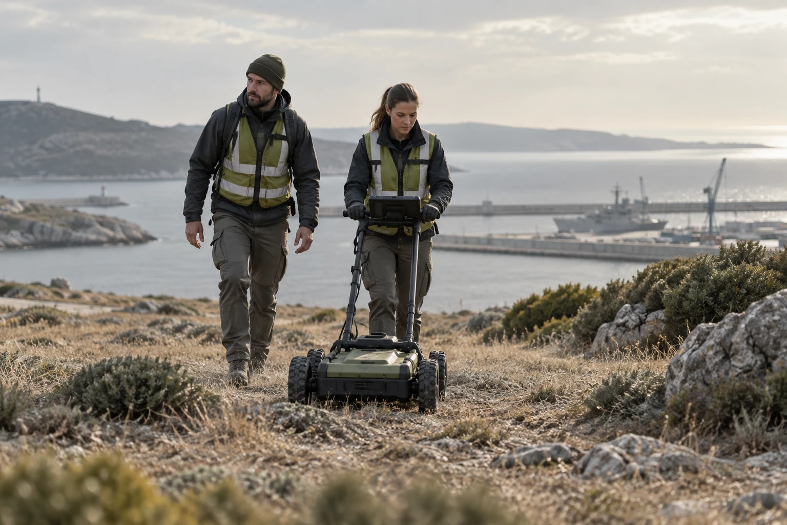
Creates two- and three-dimensional models for excavation planning, survey interpretation, target assessment and site analysis.
Scope
- Excavation planning
- Survey interpretation
- Target assessment
- Site analysis
Related capabilities
Other capabilities in this area
UAV / Drone Magnetic Survey
Uses unmanned aerial systems to detect buried ordnance, metallic objects and magnetic anomalies.
View details ↗Geophysical Survey and Target Detection
Applies magnetic, electromagnetic and other geophysical methods to analyze subsurface risks.
View details ↗Cave and Tunnel Detection
Supports the detection of underground cavities, caves, tunnels, passages, shelters and similar subsurface structures through sensors, geophysics and data analysis.
View details ↗Subsurface Anomaly Analysis
Analyzes buried metal, voids, structural remains, explosive ordnance and suspicious subsurface targets.
View details ↗GIS Mapping
Transforms field data into geospatial maps and operational decision-support products.
View details ↗IMSMA-Compatible Reporting
Produces mine action and UXO project data compatible with international reporting and information-management systems.
View details ↗Field Data Analysis
Converts collected data into target lists, risk maps, clearance plans and final handover packages.
View details ↗