

Geophysical survey and data management
Surveying, mapping and analysis that make subsurface risks visible.
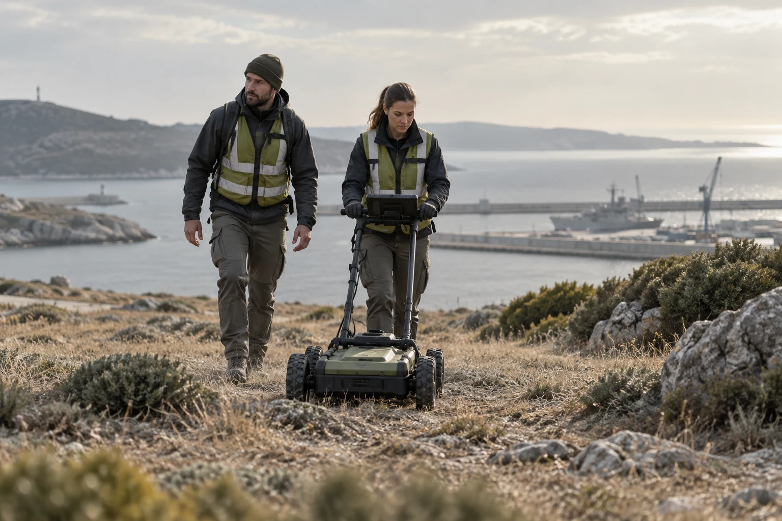
Unmanned aerial systems are used to detect buried ordnance, metallic objects and magnetic anomalies, and magnetic, electromagnetic and other geophysical methods are applied to analyse subsurface risks. Detection extends to underground cavities, caves, tunnels, passages and shelters, and subsurface anomaly analysis examines buried metal, voids, structural remains, explosive ordnance and suspicious targets.
Field data is transformed into geospatial maps and operational decision-support products, converted into target lists, risk maps, clearance plans and final handover packages, and reported in formats compatible with international mine action information-management systems (IMSMA). Two- and three-dimensional models support excavation planning, survey interpretation, target assessment and site analysis.
Explore capabilities
UAV / Drone Magnetic Survey
Uses unmanned aerial systems to detect buried ordnance, metallic objects and magnetic anomalies.
View details ↗Geophysical Survey and Target Detection
Applies magnetic, electromagnetic and other geophysical methods to analyze subsurface risks.
View details ↗Cave and Tunnel Detection
Supports the detection of underground cavities, caves, tunnels, passages, shelters and similar subsurface structures through sensors, geophysics and data analysis.
View details ↗Subsurface Anomaly Analysis
Analyzes buried metal, voids, structural remains, explosive ordnance and suspicious subsurface targets.
View details ↗GIS Mapping
Transforms field data into geospatial maps and operational decision-support products.
View details ↗IMSMA-Compatible Reporting
Produces mine action and UXO project data compatible with international reporting and information-management systems.
View details ↗Field Data Analysis
Converts collected data into target lists, risk maps, clearance plans and final handover packages.
View details ↗2D / 3D Modelling
Creates two- and three-dimensional models for excavation planning, survey interpretation, target assessment and site analysis.
View details ↗